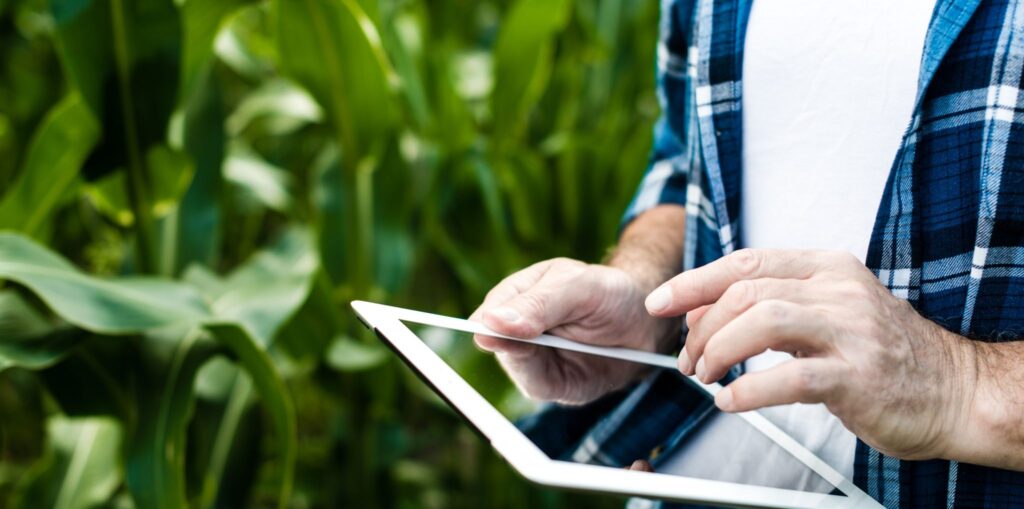
Fields monitoring during the whole season
Unmanned technology for efficient agriculture

Precision Agriculture – Using Drones to Monitor Crops
Using drones to monitor the condition of crops can significantly improve product quality and labor efficiency. Getting images in high resolution, you get a powerful tool for monitoring, analysis of crops, their comparison with previous periods, analyzing data – 24/7. Field studies can be carried out both: with the assistance of our specialists and independently.
Drones allow you to receive information from geographically large and dispersed plots about the health status of crops by receiving online video and NDVI maps.

Broshure “Drones for Agriculure”
What does the system gives you?
- Taking photos and videos
- Drawing visual maps of fields taking into account relief
- Mapping NDVI field maps
- Seedlings and biological yield counting
- Identification of problem areas with reference to GPS coordinates
- Differential fertilizer application
- Quality contol of tillage and sowing
- Agricultural machines monitoring
- Receiving of reports
- Efficiency – UAVs can be used upon request at any time
- Data relevance – data can be obtained upon request
- High resolution — from 1,5 cm/pixel
- Data access — at any time in any place
Features when using drones to monitor crops
High precision field measurement
Analysis of the condition of fields and crops
Storage of received and processed data for further analysis
Comparison with data for previous periods (history storage)
Improving the efficiency of agricultural work
Drone spectral survey
Using multispectral sensors and light sensors, it is possible to obtain information not only in the visual spectrum, but also in various spectral ranges for calculating vegetation indices or compiling soil distribution maps, to analyze the viability of plants, recording the amount of light that they absorb and reflect
All data is provided with exact coordinates with the possibility of detailed study and laboratory analysis.
Drone field Mapping

Aircraft flight planning using the application in your mobile phone, which creates automatic and optimized flight plans with reference to a specific area and your mobile device.
This site uses cookies as specified in the privacy and cookies policy. You can specify the conditions for storing or accessing cookies in your browser.
